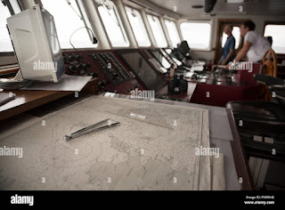
To navigate from Port A to Port B, you will need to follow a specific route based on the location of the two ports and the navigational obstacles that may be present in between them. The exact route will depend on a number of factors, such as the distance between the ports, the weather and sea conditions, and any hazards that may be present in the area.
One common method for navigating between ports is to use a nautical chart, which is a detailed map of the sea that shows the location of navigational hazards, water depths, and other important information. You can plot your course on the chart, taking into account any obstacles or hazards that may be in your way.
In addition to using a nautical chart, you will need to use navigational instruments such as a compass, GPS, and radar to ensure that you stay on course and avoid any potential hazards. It's also important to pay attention to the weather and sea conditions, and adjust your course and speed accordingly.
Overall, navigating from Port A to Port B requires careful planning, attention to detail, and the use of a variety of navigational tools and techniques. If you are not familiar with the area or the process of navigating at sea, it's a good idea to consult with a professional navigator or take a navigation course to ensure that you have the skills and knowledge you need to navigate safely and effectively.
Author: NJS


.jpg)


No comments:
Post a Comment